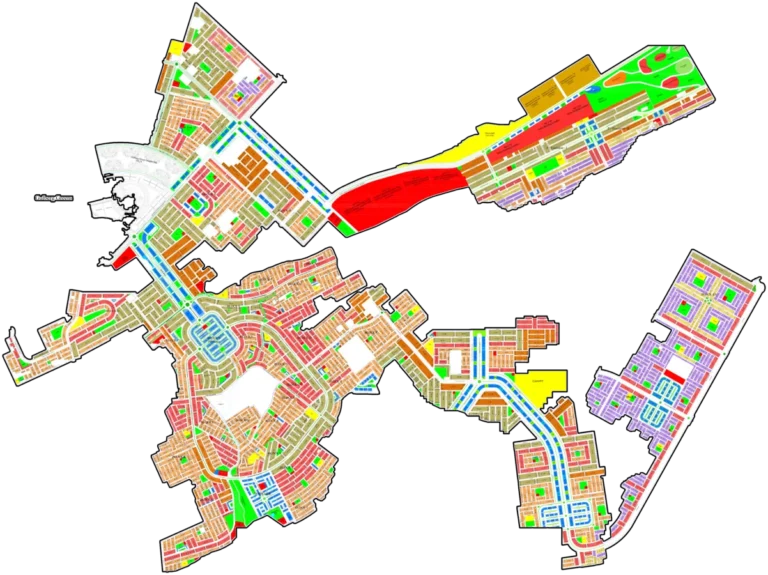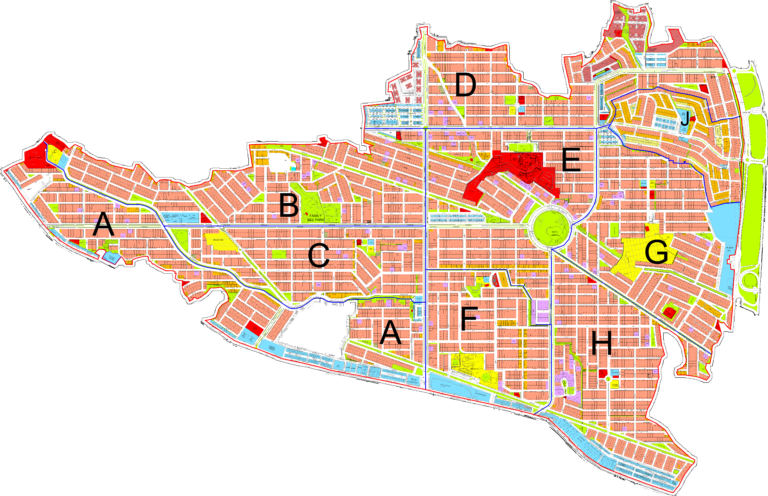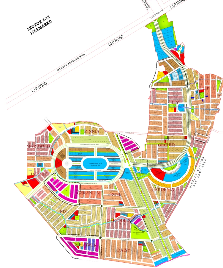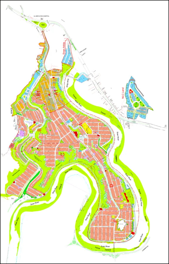
This interactive map provides a detailed layout of DHA Margalla Enclave in Islamabad. Visitors can explore the different sectors, including ME-II, ME-III, and ME-IV, and understand the internal road network. The map highlights key features such as parks, commercial areas, educational zones, and apartment blocks. It's designed to help potential buyers and residents visualize the society's structure, access points, and the placement of various amenities. Use this map to get a clear understanding of the development plan and the overall landscape of the enclave.
DHA Margalla Enclave Islamabad Map
Interactive map of DHA Margalla Enclave, Islamabad, showing sectors, roads, parks, and commercial zones.
Loading map controls…
Map guide
How to Use This Map
- Plan / Satellite sliderCompare the society plan with the satellite ground location by adjusting map opacity.
- Fit MapReturn to the full society map view when you are zoomed in or moved away.
- GPSUse GPS during a site visit to check your position against the georeferenced plan.
- Pick LocationTap Pick Location, then tap any plot or road point to copy a Manahil map link, Google Maps link or WhatsApp share link.
- Measure / DrawUse measure for approximate distances and draw to mark an area while discussing a plot location.
Location and Access
- Main access: Jinnah Avenue, Park Road
- Nearest interchange / major junction: Rawal Chowk
- Located adjacent to the Botanical Garden.
- Bordered by Gumrah Kas (R.O.W 300' Wide) on one side.
- Connected via Margalla Enclave Ave and Alama Iqbal Ave.
- Access to main roads like Ring Road and King Road.
- Close to existing settlements like Rehman Villas and Mohra Nur.
What Is Shown on the Society Map
- Clearly demarcated sectors: ME-I, ME-II, ME-III, ME-IV, Lake District
- Extensive internal road network with varying widths (e.g., 30', 60', 70', 90', 160', 300' R.O.W).
- Designated green spaces and parks throughout the sectors.
- Dedicated areas for commercial activities.
- Zones marked for apartments and residential blocks.
- Inclusion of educational and health facilities.
- Recreational areas like sports and athletics zones.
- Visible water bodies and landscape features.
- View the calibrated society plan over the Google satellite map.
- Zoom in to understand roads, blocks, plot numbering and surrounding access.
- Use GPS to check your current position while visiting the society.
- Open available property and project pins for their basic details.
Available Property Types and Sizes
- Apartments 120X200
- Apartments 180X200
- Commercial 101.50 K
- Commercial 110.00 K
- Commercial 153.00 K
- Commercial 153.50 K
- Education/Health 15.33 K
- Park 27.50 K
- Park 125.00 K
- Park 23.46 K
- Park 35.36 K
- Playground 11 K
Within 10 km
Important Nearby Landmarks
Approximate straight-line distance from the map centre. Only established, recognisable landmarks are shown.
Downtown Lake & Dancing FountainLandmark
Bahria EnclaveLandmark
Health Services Academy, IslamabadUniversity
NIH Allergy CenterHospital
COMSATS University Islamabad (CUI)University
Quaid e Azam University IslamabadUniversity
Jinnah StadiumStadium