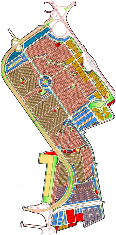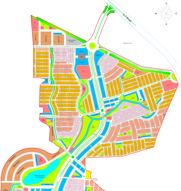
This interactive map of Taj Residencia Housing Scheme provides a detailed view of the society's layout. Visitors can use this map to understand the placement of various blocks, residential sectors, commercial areas, parks, and road networks. It's designed to help potential buyers, sellers, and residents navigate the society, identify plot locations, and visualize the overall infrastructure. The map highlights key features and access points, offering a practical tool for exploring the planned community.
Taj Residencia Rawalpindi Map
Explore the detailed layout of Taj Residencia with this interactive GIS map showcasing blocks, roads, and amenities.
Loading map controls…
Location and Access
- Main access: Sector I-14 Service Road
- Located next to Sector I-15, Islamabad
- Connected via Link Road I-14
- Proximity to Service Road I-15 (150' Wide)
- Close to Wireless Station Pak Army Area
- Access from Lakhu Road
What Is Shown on the Society Map
- Clearly demarcated residential blocks named after flowers (e.g., Marigold, Jasmine, Iris, Lily, Tulip, Orchid, Gardenia, Rose, Geranium, Daffodils, Daisy, Aster, Zinnia)
- Central location marked for Centaurus Mall 2
- Central Commercial Hub with multiple commercial plots
- Extensive network of internal roads and streets with specified widths
- Multiple parks and green spaces labeled (e.g., P.P-1, P.P-2, P.P-11, P.P-15)
- Designated areas for Apartments
- Graveyards are marked within the society
- A mosque is indicated on the map
- Circular avenues and main boulevards enhance internal connectivity
- View the calibrated society plan over the Google satellite map.
- Zoom in to understand roads, blocks, plot numbering and surrounding access.
- Use GPS to check your current position while visiting the society.
Available Property Types and Sizes
- 3.5 Marla
- 5 Marla
- 8 Marla
- 10 Marla
- 14 Marla
- 1 Kanal
- 2 Kanal
Within 10 km
Important Nearby Landmarks
Approximate straight-line distance from the map centre. Only established, recognisable landmarks are shown.
Rafay MallShopping Landmark
Rawalpindi Railway StationRailway Station
FAST NUCES, Islamabad CampusUniversity
Amanat Eye Hospital RawalpindiHospital
Map-linked inventory
1 active listingsProperties Available on This Map

Residential File
3.5 Marla Plot File for Sale in Taj Residencia, Cosmos Block
Rs 2,100,000