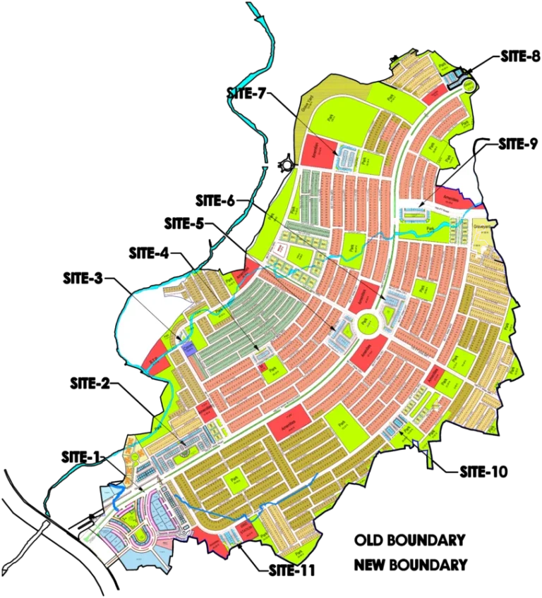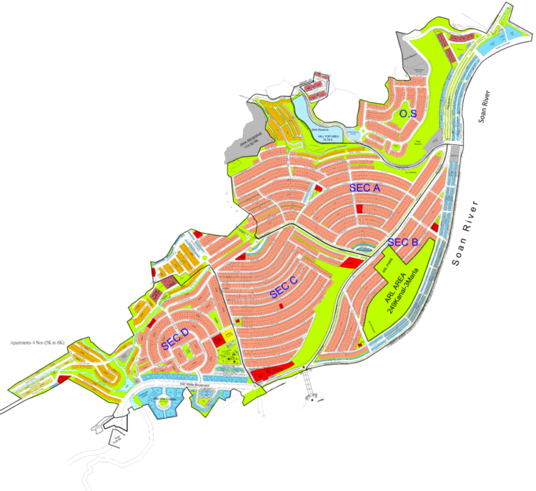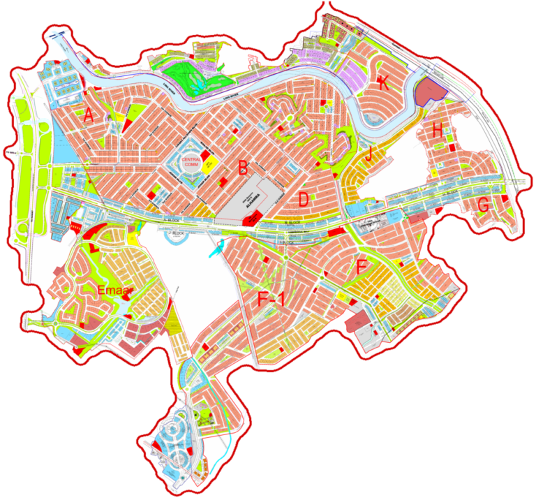
This interactive map of DHA Phase 6 Islamabad provides a detailed view of the society's layout, including its various blocks, sectors, and internal road networks. Developed by OJRM, the master plan covers a significant area, designed to offer modern living standards. The map helps users navigate the phase, identify plot locations, and understand the placement of amenities and infrastructure. It serves as a practical tool for residents, potential buyers, and investors to visualize the development and accessibility of DHA Phase 6, highlighting its strategic position near key Islamabad landmarks.
DHA Phase 6 Islamabad Map
Explore the layout, blocks, and access points of DHA Phase 6 Islamabad with this detailed map.
Loading map controls…
Location and Access
- Main access: DHA Expressway
- Nearest interchange / major junction: T Chowk
- DHA Phase 6 is primarily accessible from Islamabad Expressway through DHA Expressway via DHA Phase 5 Islamabad.
- Master-planned by OJRM, Los Angeles
- Located near T-Chowk and DHA Phase II
- Direct access via DHA Expressway to Islamabad Expressway
- Development includes road networks and ground leveling
- Divided into four sectors: A, B, C, and D
What Is Shown on the Society Map
- Gated community with secure access
- Development around Daducha Dam
- DHA Marina is the central attraction DHA Phase 6
- Mosques planned for each sector
- Underground provision for sewerage, electricity, and water supply
- Wide roads, including a 150ft DHA Expressway
- Boundary wall and comprehensive security installations
- Planned international standard schools and colleges
- Dedicated health facilities
- View the calibrated society plan over the Google satellite map.
- Zoom in to understand roads, blocks, plot numbering and surrounding access.
- Use GPS to check your current position while visiting the society.
Available Property Types and Sizes
- 1 Kanal Residential Plots
- 4 Marla Commercial Plots
- 8 Marla Commercial Plots
Within 10 km
Important Nearby Landmarks
Approximate straight-line distance from the map centre. Only established, recognisable landmarks are shown.
IBADAT International UniversityUniversity
Muslim Youth University, IslamabadUniversity
MY UniversityUniversity
Uswa College IslamabadUniversity
Map-linked inventory
12 active listingsProperties Available on This Map

Residential Property
1 Kanal Plot for Sale in Sector B-3, DHA Phase 6 Islamabad
1 kanal · Plot 25 · Street 19Rs 17,000,000
Residential Property
1 Kanal Plot Available in Sector C-3 Extension, DHA Phase 6 Islamabad
1 kanal · Plot 14 · Street 63Rs 13,000,000
Residential Property
1 Kanal Plot for Sale in Sector B-3, DHA Phase 6 Islamabad
1 kanal · Plot 2 · Street 28Rs 17,000,000
Residential Property
1 Kanal Plot Available in Sector C-3 Extension, DHA Phase 6 Islamabad
1 kanal · Plot 11 · Street 25Rs 11,500,000
Residential Property
1 Kanal Plot for Sale in Sector C-2, DHA Phase 6 Islamabad
1 kanal · Plot 8 · Street 14fRs 15,000,000
Residential Property
1 Kanal Plot Available for Sale in Sector C-3 Extension, DHA Phase 6 Islamabad
1 kanal · Plot 10Rs 12,500,000
Residential Property
Premium Corner Deal: Corner 1 Kanal Plot Available in DHA Phase 6, Islamabad
1 kanal · Plot 9 · Street 29Rs 13,000,000
Residential Property
1 Kanal Plot Available for Sale in Sector B-3, DHA Phase 6 Islamabad
1 kanal · Plot 5 · Street 19aRs 17,000,000
Residential Property
Premium Corner Deal: Sector C-2, DHA Phase 6 Islamabad Corner 1 Kanal Plot for Sale
1 kanal · Plot 1 · Street 8Rs 17,000,000
Residential Property
1 Kanal Plots Available in Sector C-2, DHA Phase 6 Islamabad
1 kanal · Plot 13,14Rs 14,000,000
Residential Property
1 Kanal Plot Up for Sale in Sector C-3 Extension, DHA Phase 6 Islamabad
1 kanal · Plot 2 · Street 31cRs 13,000,000
Residential Property
1 Kanal Plot Available for Sale in Sector B-3, DHA Phase 6 Islamabad
1 kanal · Plot 19 · Street 11Rs 15,500,000