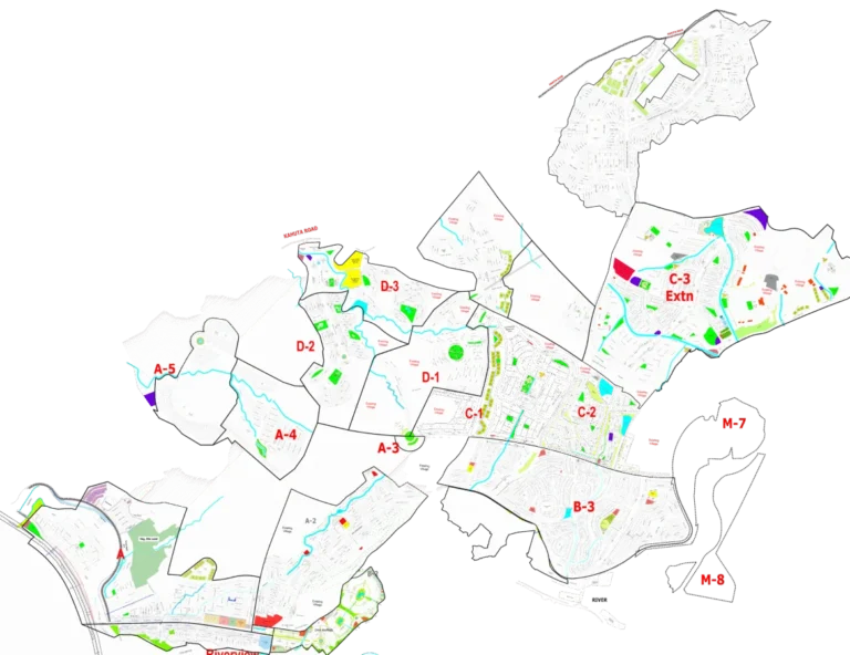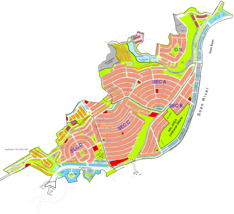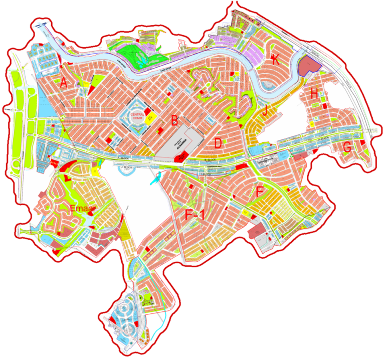
This interactive map of DHA Margalla Orchards Islamabad provides a comprehensive overview of the society's layout. Visitors can use this map to understand the placement of residential blocks, commercial areas, parks, graveyards, and other facilities. It details the road network, including main boulevards and sector roads, helping users navigate the society and identify specific plot locations. The map is an essential tool for prospective buyers, investors, and residents to visualize the development and its surroundings.
DHA Margalla Orchards Islamabad Map
Explore the DHA Margalla Orchards Islamabad map for detailed layout, blocks, parks, amenities, and access points.
Loading map controls…
Location and Access
- Main access: Park Road
- Nearest interchange / major junction: Taramari Chowk, Rawal Chowk
- Located along Park Road, CDA Zone 4, Islamabad.
- Opposite COMSATS University Islamabad.
- Close proximity to Murree Road and Kashmir Highway.
- Easy access to Rawalpindi and Islamabad city centers.
- Near Taramri Chowk and Lehtrar Road.
What Is Shown on the Society Map
- Clearly demarcates residential blocks (A-H).
- Margalla Orchards Walk under development right at the entrance area.
- Shows numerous green spaces and parks throughout the society.
- Highlights commercial areas and amenities zones.
- Includes a graveyard and a petrol pump.
- Depicts a grid station.
- Features a mosque.
- Illustrates a network of wide internal roads (e.g., 180 ft, 100 ft, 80 ft, 60 ft).
- Shows a water channel running through parts of the society.
- View the calibrated society plan over the Google satellite map.
- Zoom in to understand roads, blocks, plot numbering and surrounding access.
- Use GPS to check your current position while visiting the society.
Available Property Types and Sizes
- 10 Marla
- 14 Marla
- 1 Kanal
Within 10 km
Important Nearby Landmarks
Approximate straight-line distance from the map centre. Only established, recognisable landmarks are shown.
COMSATS University Islamabad (CUI)University
Bahria EnclaveLandmark
Lok Virsa Heritage MuseumShopping Landmark
Quaid e Azam University IslamabadUniversity
Al Janat Mall, Commercial MarketShopping Landmark
Map-linked inventory
12 active listingsProperties Available on This Map

Residential Property
14 Marla Plot for Sale in Block G, DHA Margalla Orchards Islamabad
14 marla · Plot 481Rs 17,000,000
Residential Property
Ready To Build: 10 Marla Plot for Sale in E Block, DHA Margalla Orchards Islamabad
10 marla · Plot 694 & 460Rs 20,500,000
Residential Property
Elite Choice: 10 Marla Plot for Sale in E Block, DHA Margalla Orchards Islamabad
10 marla · Plot 615Rs 22,500,000
Residential Property
Park Facing Pair: E Block, DHA Margalla Orchards Islamabad 20 Marla Plot for Sale
20 marla · Plot 737 & 738Rs 45,000,000
Residential Property
Prime 10 Marla: E Block, DHA Margalla Orchards Islamabad 10 Marla Plot for Sale
10 marla · Plot 757Rs 20,500,000
Residential Property
Best Entry 10 Marla: E Block, DHA Margalla Orchards Islamabad 10 Marla Plot for Sale
10 marla · Plot 682Rs 19,800,000
Residential Property
Competitive Price: E Block, DHA Margalla Orchards Islamabad 1 Kanal Plot for Sale
1 kanal · Plot 856 & 857Rs 31,000,000
Residential Property
Ready Asset: 1 Kanal Plot Up for Sale in E Block, DHA Margalla Orchards Islamabad
1 kanal · Plot 10Rs 32,000,000
Residential Property
Executive Pair: 2 Kanal Plot Available in E Block, DHA Margalla Orchards Islamabad
2 kanal · Plot 9 & 10Rs 64,000,000
Residential Property
Grand Pair Plot: 2 Kanal Plot for Sale in A Block, DHA Margalla Orchards Islamabad
2 kanalRs 66,500,000
Residential Property
80 Ft Road Corner: A Block, DHA Margalla Orchards Islamabad 1 Kanal Plot for Sale
1 kanal · Plot 43ARs 36,000,000
Residential Property
Construction Ready Pair: 2 Kanal Plot Up for Sale in DHA Margalla Orchards, Islamabad
2 kanal · Plot 782 & 783Rs 66,000,000